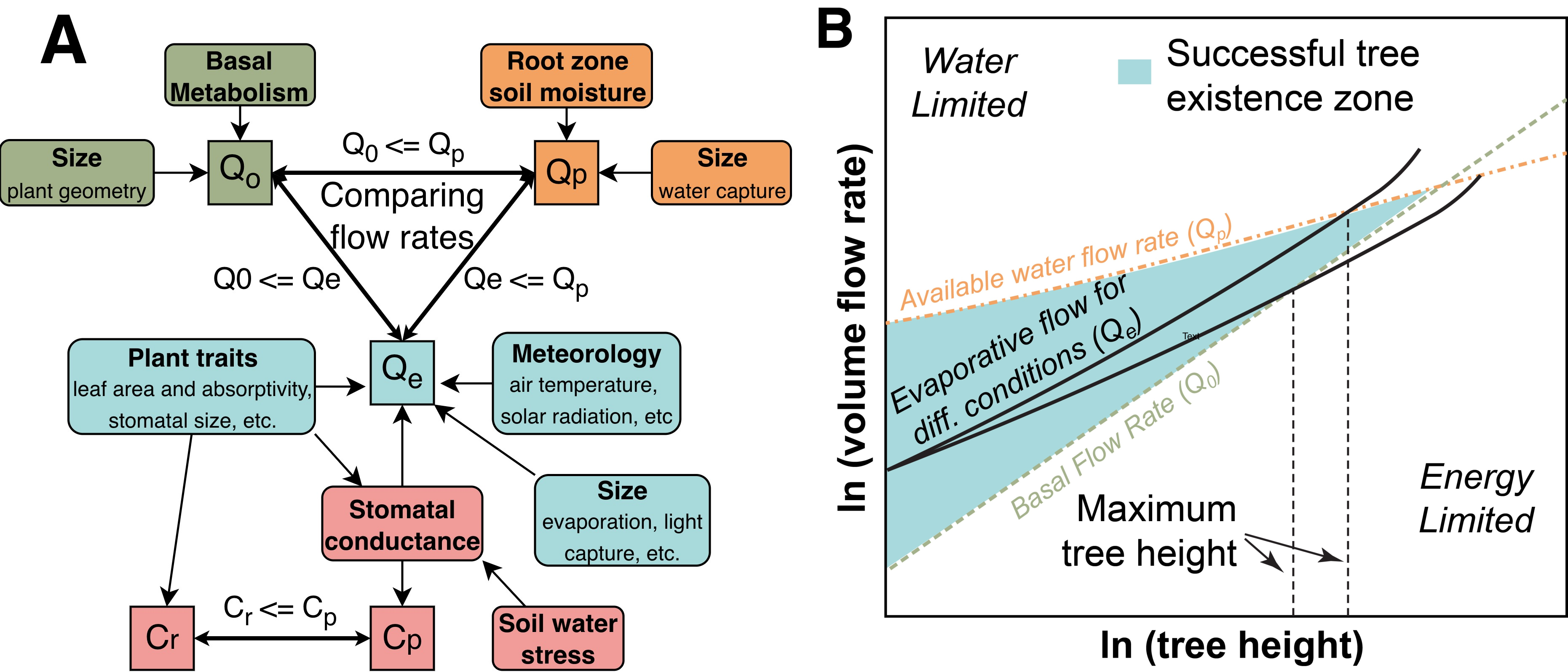
Aboveground Woody Biomass and Ecosystem Dynamics
Linking NISAR radar observations with ecological theory and geospatial AI to map aboveground woody biomass and understand how forests respond to environmental stress and climate change.
Our team’s research is driven by a shared commitment to biodiversity conservation and to understanding the complex dynamics among people, climate, and wildlife. Through our work, we aim to contribute to the broader fields of conservation and environmental management by developing new insights and innovative approaches to address pressing challenges in species conservation, human-wildlife interactions, and the ecological impacts of climate change and human activities.
Linking NISAR radar observations with ecological theory and geospatial AI to map aboveground woody biomass and understand how forests respond to environmental stress and climate change.
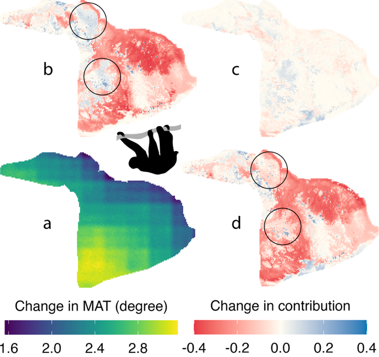
Reassessing thermal risk in a compound climatic context for global biodiversity using explainable artificial intelligence and species distribution modeling.

Combining Spatially-explicit Simulation of Animal Movement and Earth Observation to Reconcile Agriculture and Wildlife Conservation.
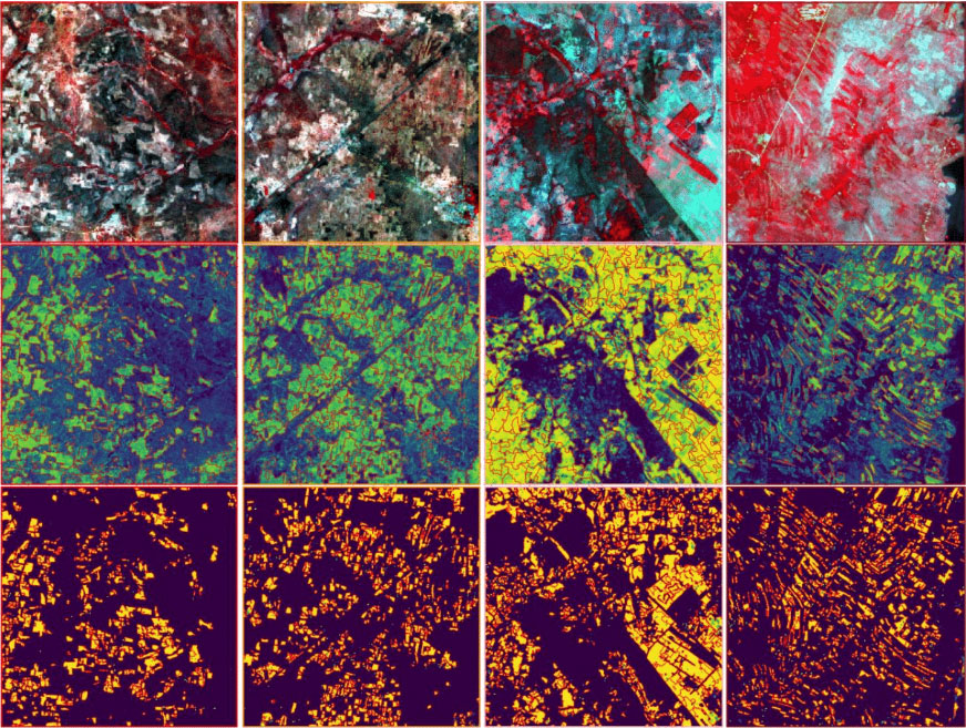
An active learning approach to develop a scalable, fast, and cost-effective land cover mapping system that combines human and machine intelligence.
Student lead: Tianze Li (PhD student)
This project combines satellite imagery and deep learning to map and forecast Spartina alterniflora (now Sporobolus alterniflorus) invasion across China’s coastal wetlands. Preliminary historical mapping uses a fine-tuned geospatial foundation model and Landsat imagery. Planned work will refine the maps and train a deep convolutional neural network to forecast subsequent spread, evaluate predictions against later observations and examine how mapping errors affect forecast reliability. The goal is to support targeted surveillance and control.
Student lead: Dylan Gong (Undergraduate student)
This project compares environmental conditions occupied by Sporobolus alterniflorus (formerly Spartina alterniflora) in its native and invaded ranges and examines how these differences relate to species distribution model transferability. A native-range Random Forest model and SHAP explanations quantify the contributions of climatic, tidal, soil, sediment and landscape variables across invaded regions. The hypothesis is that localized variables, such as relative tidal elevation differ more strongly between native and invaded habitats than broad-scale climate, while model transferability is strongly associated with environmental divergence.